Property-Intelligence Drone Platform
Completed: 2026 (in progress)
Engineered a reusable, plug-and-play component framework for drone-based property intelligence — georeferenced terrain, parcel boundaries, and aerial capture layered into one interactive viewer, built to be dropped into any property portal rather than a one-off page.
The Problem
Property owners and buyers get aerial photos and disconnected GIS/LiDAR datasets, but no single interactive view that fuses them. Existing reference platforms in this space (e.g. Hammer Missions) are closed SaaS — no ownership of the viewer, ongoing per-seat cost, and no way to embed the experience into an existing site.
The Solution
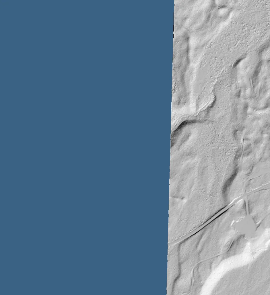
Built the viewer, bought only the compute: a component framework (drone-hub) providing a MapLibre-based layer viewer (toggleable ortho/thermal/LiDAR hillshade/contour/parcel-boundary overlays with opacity control), a three.js/react-three-fiber 3D model viewer for point clouds and meshes, and a video annotator, all as standalone, importable React components rather than a monolithic app. A working demo portal (drone.mdostal.com, passcode-gated pre-launch) renders real baked LiDAR terrain for two example properties (a Montana lakefront parcel and an Arizona property) inside tabbed aerial/data/footage/3D property briefs, proving the pipeline end-to-end: USGS 3DEP LiDAR baked to hillshade/heightmap, parcel boundaries clipped as the shared registration grid, and Cloudflare R2 for zero-egress heavy asset storage.
The Impact
A working, demonstrable geospatial pipeline and component set (not slideware) — validated against two real properties, with a photogrammetry path (nadir capture → WebODM → orthomosaic/DSM/mesh) scoped for real aerial data as it comes in. Commercial launch is gated on an FAA Part 107 certification currently in progress; the engineering is intentionally decoupled from that gate so the components keep shipping either way.